QGIS is a user friendly Open Source Geographic Information System (GIS) licensed under the GNU General Public License. QGIS is an official project of the Open Source Geospatial Foundation (OSGeo). It runs on Linux, Unix, Mac OSX, Windows and Android and supports numerous vector, raster, and database formats and functionalities.
QGIS is an Open Source Geographic Information System.
Free, open source
QGIS installation guide for CoF
1. Download the latest version from https://www.qgis.org/en/site/index.html
Or run Q:\Public\QGIS\QGIS-OSGeo4W-2.14.3-1-Setup-x86_64.exe (this is the long term release). If you want the latest release, download it from the QGIS website)
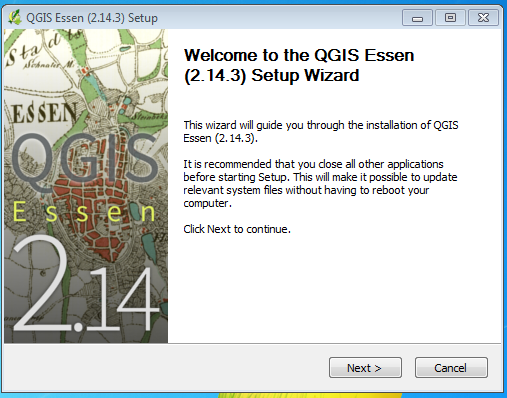
2. Setup Wizard, click Next>
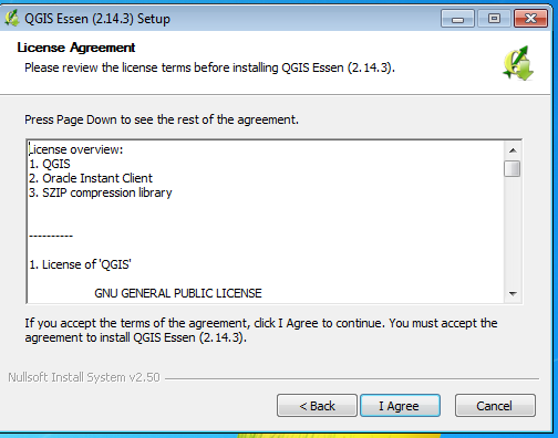
3. License Agreement, click I Agree
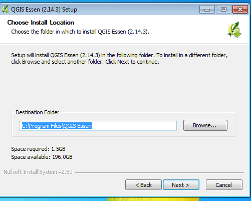
4. Accept default Destination Folder, click Next>
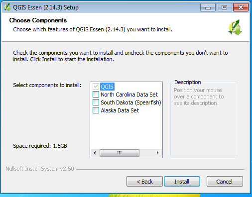
5. Select components to install. Click Install>
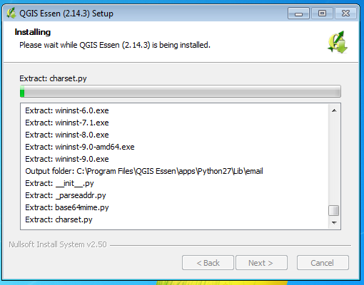
6. Wait for the installation to complete
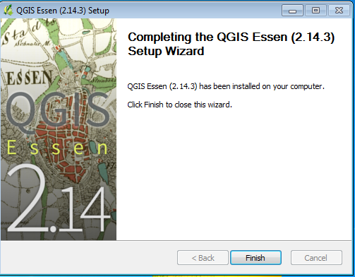
7. When installation is complete, click Finish
